Product overview
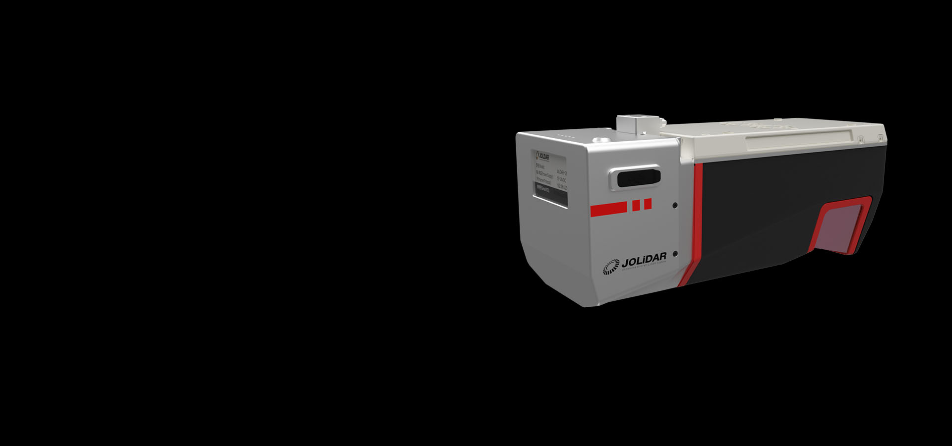
The JoLiDAR-120 combines nadir, forward and backward LiDAR scanning with an inertial measurement unit and an RGB camera for geospatial data collection.
JOUAV describes the system as fully integrated with its flight control system and ground control station.
The CW-15, CW-25E and PH-20 as compatible drones.
The system supports large-area mapping, power line inspection and road construction data collection.
JOUAV states that its published performance data comes from internal laboratory testing under particular conditions. Actual performance can vary with configuration, software, application conditions and the environment.
Specifications
| Specification | Value & conditions |
|---|---|
| System integration | JOUAV flight control system and ground control stationIntegration stated for the JoLiDAR-120. |
| Applications | Large-area mapping, power line inspection and road constructionUses listed for data collected by the JoLiDAR-120. |
| Model and integration | JoLiDAR-120 LiDAR sensor fitted to CW-15XConfiguration described in JOUAV's station launch article |
| Reported inspection distance | No less than 30km in a single sortieJOUAV's test of the CW-15X LiDAR drone scanning transmission and distribution lines |
Request a quote for JOUAV JoLiDAR-120
Send your application, destination country and expected quantity to the ChinaDrone team. We can discuss product selection, configuration and sourcing from China.
Submit your procurement requirements ↗No account needed. A model number is optional. Your enquiry is handled by ChinaDrone.