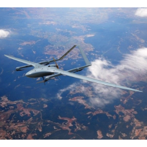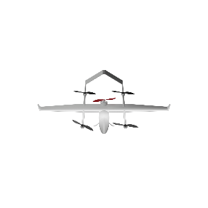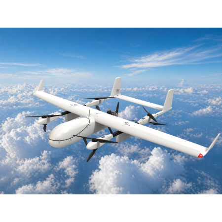
Product overview
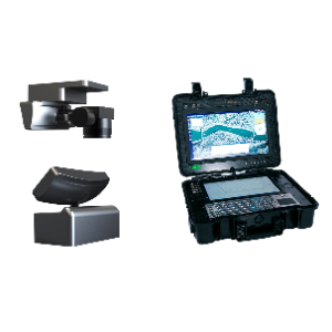
The system combines a drone platform, an airborne acquisition unit, a ground tracking and transmission unit, and a portable geographic information support case. Its secure data link and automatic tracking antenna support lossless transmission of original images.
A full-frame camera on a two-axis stabilized gimbal generates DOM, DEM and DSM orthophotos, PLY point clouds and OSGB models during flight.
For nighttime reconstruction, the system combines F1.4 optics, a back-illuminated CMOS sensor, LED fill lighting and deep-learning feature enhancement. The listing reports operation at 0.05 lux and nighttime coverage of up to 1.2 km² per flight with this configuration.
The system includes RTK/PPK positioning. The listing reports surveying accuracy better than 10 cm and describes its use for disaster assessment and command decisions.
Specifications
| Specification | Value & conditions |
|---|---|
| Nighttime reconstruction | 0.05 lux; up to 1.2 km² per nighttime flightWith F1.4 optics, a back-illuminated CMOS sensor, LED fill lighting and deep-learning multiscale feature enhancement, as described in the listing. |
| Surveying accuracy | Better than 10 cmThe listed system includes RTK/PPK positioning and low-profile sensors. |
Request a quote for GAD-SWJM
Send your application, destination country and expected quantity to the ChinaDrone team. We can discuss product selection, configuration and sourcing from China.
Submit your procurement requirements ↗No account needed. A model number is optional. Your enquiry is handled by ChinaDrone.