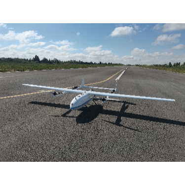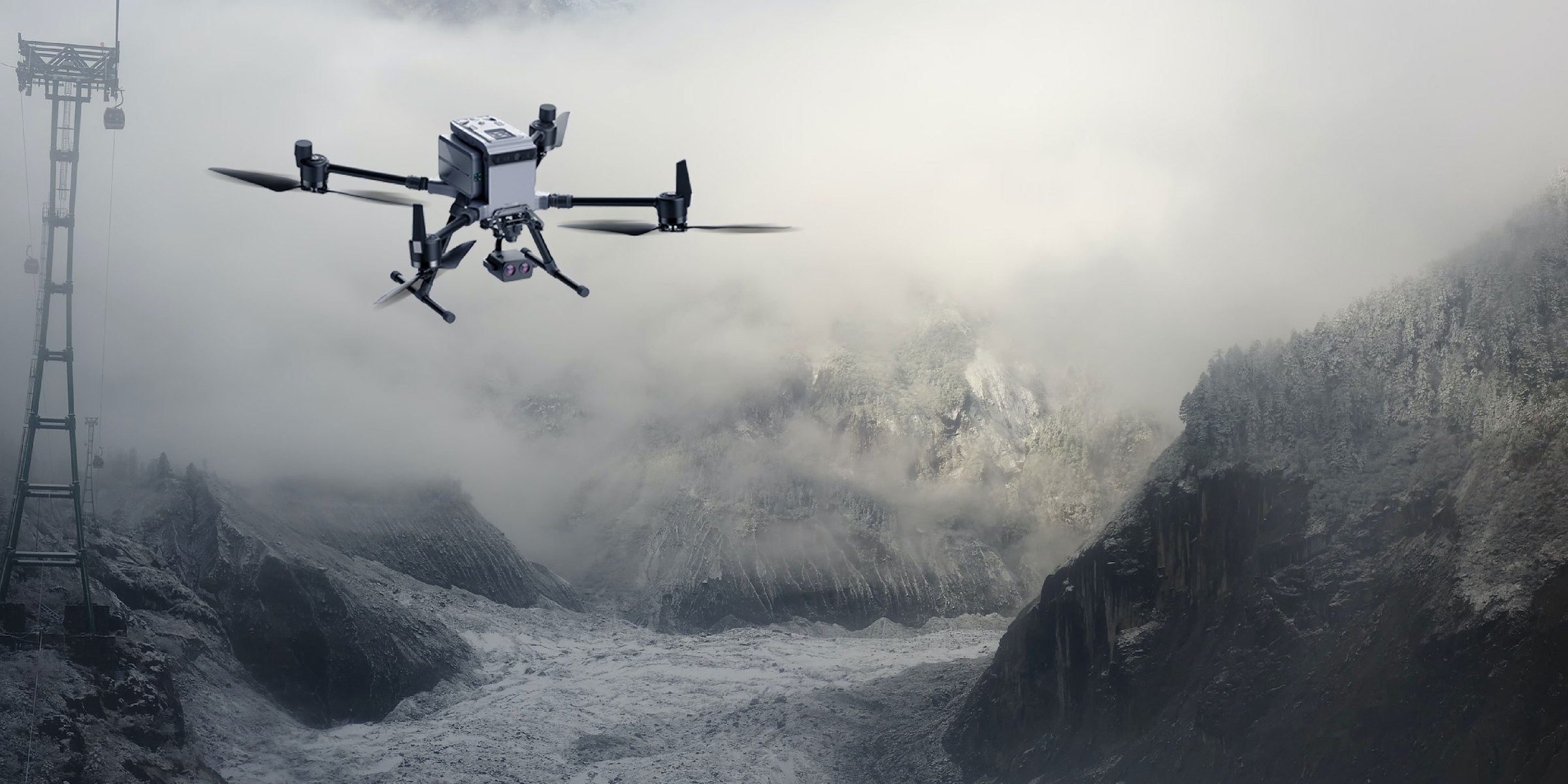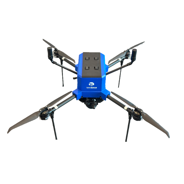
Product overview
The aircraft supports orthographic imaging for mapping, oblique photography for three-dimensional modeling, and real-time video for dynamic monitoring.
A dual-antenna differential GNSS board supports centimeter-level real-time positioning with base-station or network RTK technology.
The aircraft combines imagery from multiple viewpoints with high-precision coordinate data to generate geotagged three-dimensional models and orthographic maps.
Ground-station and cloud-platform connections support real-time data return, remote mission planning and adjustments during operations.
Specifications
| Specification | Value & conditions |
|---|---|
| Operating modes | Orthographic imaging, oblique photography and real-time videoFor mapping, three-dimensional modeling and dynamic monitoring, respectively |
| Positioning | Centimeter-level real-time positioningUsing the dual-antenna differential GNSS board with base-station or network RTK technology |
Request a quote for FLYER-X710
Send your application, destination country and expected quantity to the ChinaDrone team. We can discuss product selection, configuration and sourcing from China.
Submit your procurement requirements ↗No account needed. A model number is optional. Your enquiry is handled by ChinaDrone.