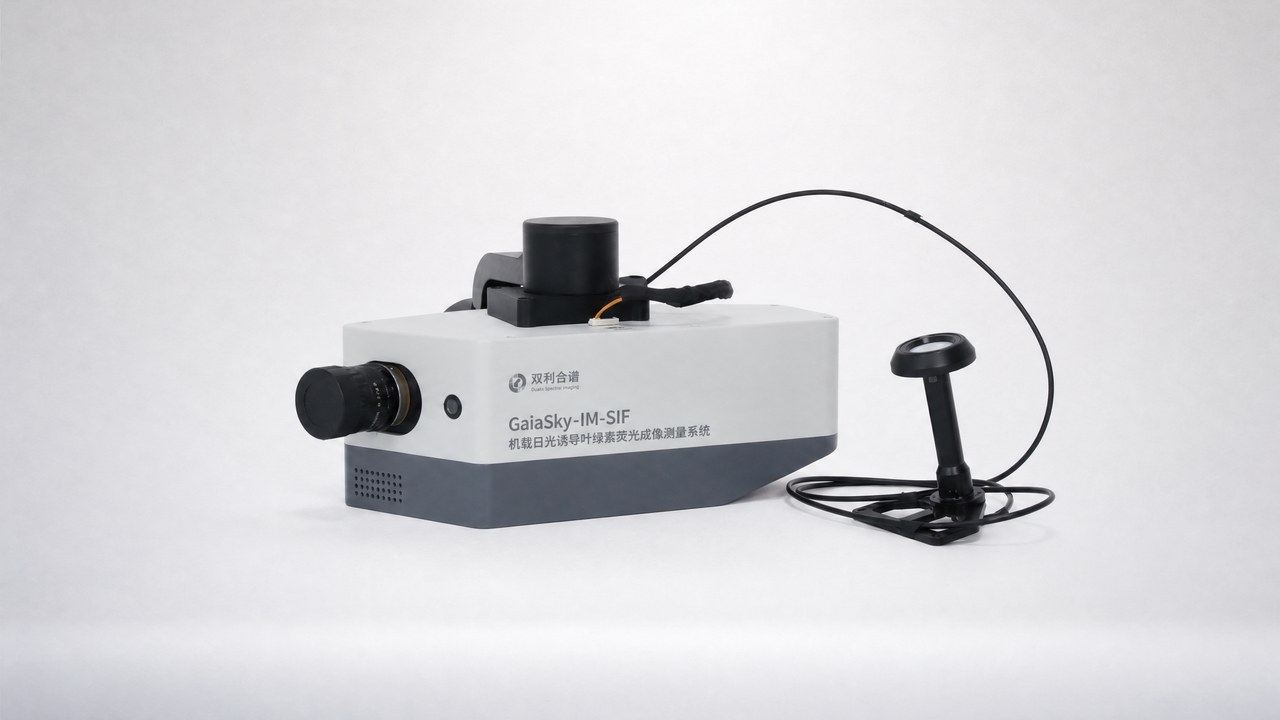
Product overview
The Dualix GaiaSky-IM-SIF combines hyperspectral imaging with a UAV platform to measure solar-induced chlorophyll fluorescence across extensive vegetation canopies. It captures two-dimensional SIF distributions over farmland, forests and grasslands for precision agriculture, ecological environmental monitoring and remote-sensing validation. Integrated GPS positioning, auxiliary monitoring, real-time synchronous sunlight acquisition and intelligent flight control support airborne operation. During flight, the system acquires hyperspectral imagery and plant fluorescence information simultaneously, bringing spatial imaging and fluorescence measurement together in one system.
The imaging hardware combines an sCMOS sensor, a 769×800 pixel array and a 25 mm lens. Its 670-780 nm spectral range is paired with 0.35 nm spectral resolution, a 0.1 nm sampling interval and 512 spectral bands, with an SNR greater than 1000:1. The system receives factory absolute radiometric calibration and incorporates an electronic shutter for dark-background acquisition. Its optical-fiber configuration supports synchronous uplink/downlink acquisition plus dark background. System software supports reflectance calibration using white-frame and dark-background data, followed by model-based indicator retrieval.